Topographic plan
.jpg)
Pinpoint relief accuracy to secure your land development
Whether you are designing new infrastructure, planning a real estate development or siting a building, the topographic plan delivers a complete graphic representation of your land's relief and all its components. With Ecce Terra's expertise, you gain reliable altimetric and planimetric data to anchor your construction projects on solid technical foundations, from ideation through to execution.
What is a topographic plan?
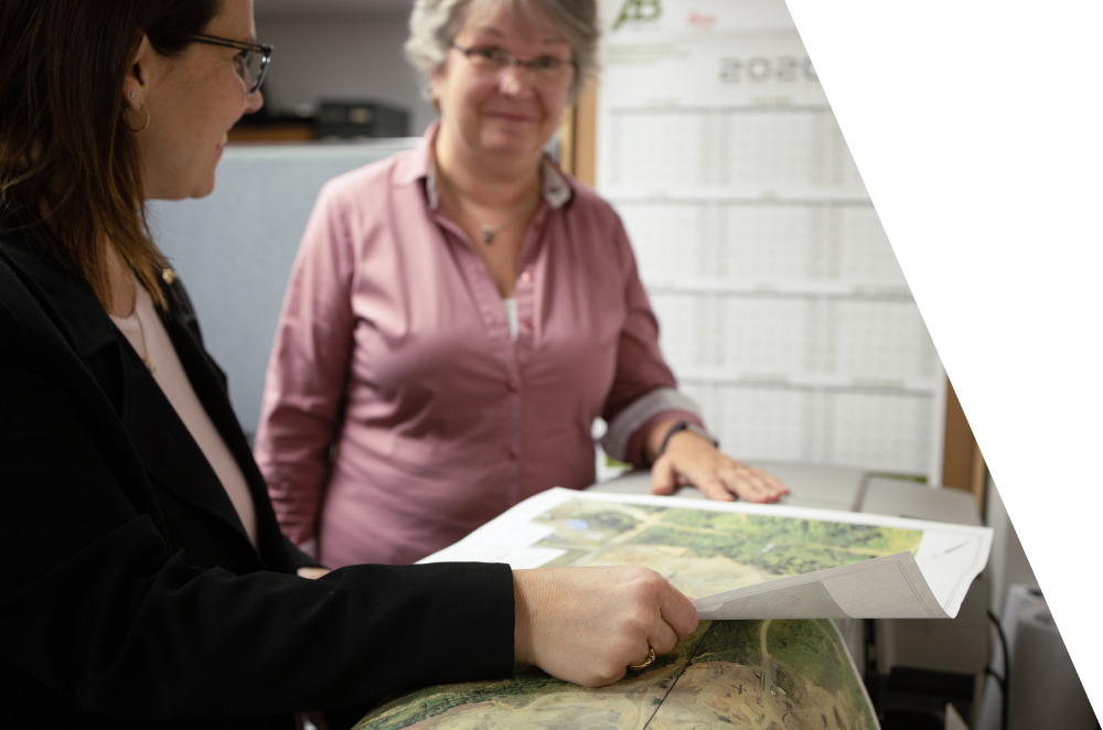
One of the most comprehensive documents in land surveying, a topographic plan facilitates the preparation of subdivision, land development and engineering projects. Prepared by our land surveyors, this cartographic survey accurately positions both natural features (trees, watercourses, relief, embankments) and artificial elements (buildings, roads, underground infrastructure, public utilities). This technical document is the essential baseline for architects, engineering firms, urban planners and developers. By delivering an accurate picture of the land's configuration and altimetry (elevation), the topographic plan confirms the feasibility of your development, civil engineering or construction projects — while preventing costly errors on the worksite.
Why call on our land surveyors for your topographic surveys and plans?
By combining state-of-the-art equipment (GPS receivers, robotic total stations, 3D scanners and LiDAR) with a rigorous surveying methodology, the Ecce Terra team provides you with exhaustive spatial data. When you entrust us with your site, you gain a decisive head start for the next stages of your operations :
- Robust design baseline : We generate accurate digital models (contour lines, spot elevations) that enable your engineering and architectural teams to optimize design, water runoff and municipal service connections.
- Cost and uncertainty management : A precise analysis of elevation changes and the site's physical constraints helps you anticipate cut-and-fill volumes, maximizing the cost-effectiveness of your worksite logistics.
- Streamlined regulatory approval : Our compliant, detailed topographic plans meet the strict requirements of municipalities and ministries, accelerating your approval applications and the issuance of your building permits.
Looking for other technical surveying and specialized survey services?
Secure your investments from day one and gain a head start on your projects by exploring the full scope of our technical expertise. From 3D modelling and volumetrics to the staking out of your future constructions, rely on data of the highest precision.
Need a partner who adapts to your reality?
Every market comes with its own territorial, legal, and regulatory challenges. Whether you are a visionary real estate developer, a growing municipality, an infrastructure manager, or a private property owner, the success of your project demands far more than simply taking measurements.
Anticipate the space to build it better
A project's excellence rests on the reliability of its initial data. Entrust your technical surveys to Ecce Terra today and benefit from a cutting-edge team that transforms the complexity of the land into clear opportunities.