Photogrammetry
A technology-driven perspective for absolute field accuracy
Whether you are mapping vast territories, analyzing inaccessible areas, or performing complex volumetric calculations, drone photogrammetry provides a highly accurate aerial perspective. Leveraging Ecce Terra's advanced technological capabilities, transform your environments into reliable 3D models and secure your project design right from the ideation stage.
What is photogrammetry?
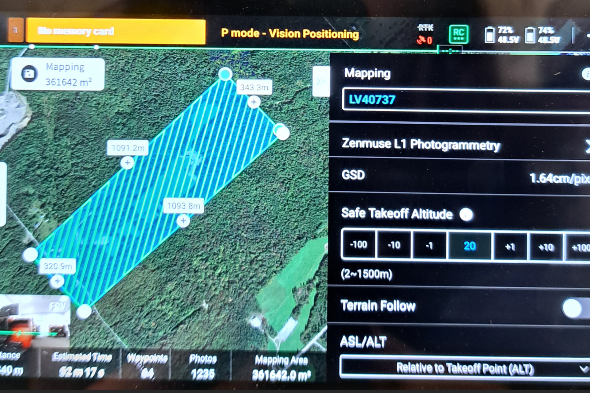
Photogrammetry is an advanced measurement technique used to determine the dimensions, volumes and topography of an area from aerial photographs. Governed by rigorous standards, this method relies on capturing overlapping images (typically by drone or aircraft) to recreate a three-dimensional view of reality. Whether mapping large, uneven or hard-to-reach areas, this technology transforms high-resolution images into reliable geospatial data. Once processing is complete, our land surveyors and specialists generate detailed topographic maps, digital terrain models (DTMs) and georeferenced orthophotos.
Why entrust your photogrammetric surveys to our land surveyors?
By combining an extensive technological fleet with sharp expertise in data processing, the Ecce Terra team delivers exhaustive, ultra-accurate surveys. Gain reliable technical foundations that give you a head start in the field :
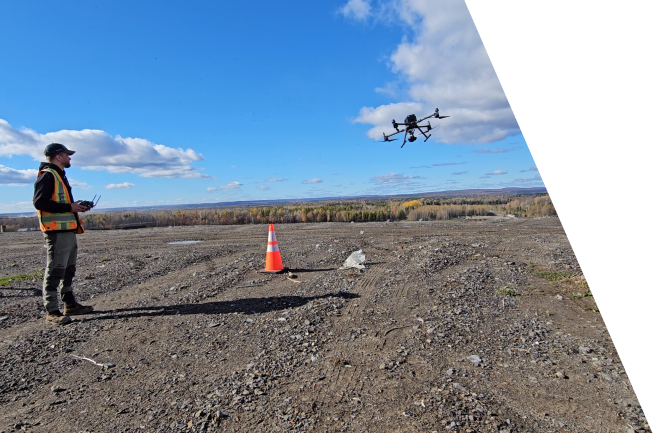
- Fast, safe acquisition : Drone flyovers cover vast areas, mining sites or inaccessible zones in a fraction of the time required by conventional methods, eliminating risks to workers on the ground.
- High-precision 3D deliverables : We produce dense point clouds, orthomosaics and contour lines that integrate seamlessly with your engineering and architectural teams' platforms.
- Optimized site monitoring and volumetrics : Obtain accurate cut-and-fill calculations and track the progress of your work to maximize the cost-effectiveness of your operational logistics.
Looking for other technical surveying and specialized survey services?
Secure your investments from day one and gain a head start on your projects by exploring the full scope of our technical expertise. From bathymetric surveys for your aquatic projects to 3D modelling for your complex infrastructure, rely on data of the highest accuracy.
Need a partner who adapts to your reality?
Every market comes with its own territorial, legal, and regulatory challenges. Whether you are a visionary real estate developer, a growing municipality, an infrastructure manager, or a private property owner the success of your project demands far more than simply taking measurements.
Anticipating space to build it better
A project's excellence rests on the reliability of its initial data. Entrust your technical surveys to Ecce Terra today and benefit from a cutting-edge team that transforms the complexity of the territory into clear opportunities.