Technical description
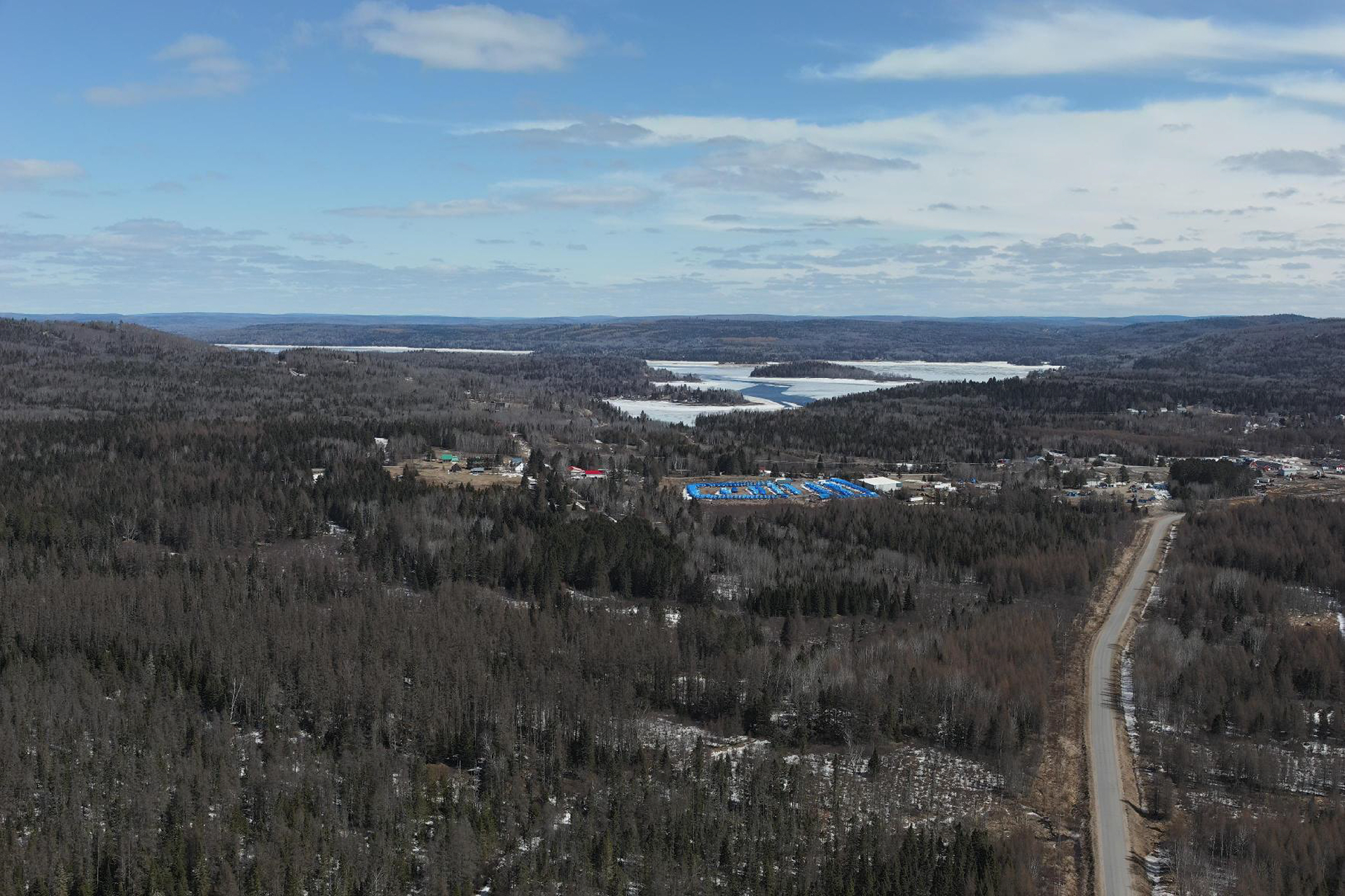
An accurate description for easement or real estate transactions
Comprising a plan and a report, the technical description outlines the boundaries of a land parcel before it becomes subject to specific rights, notably the limits of a servitude or those of a parcel to be acquired or exchanged. The surveyor indicates the parcel's surface area, the measurement of each segment, and its abuttals.
%201.png)
What is an easement?
Some properties are subject to servitudes in favour of, among others, another property, a person, or a company. A servitude on your property obliges you to tolerate certain uses and may prevent you from exercising certain rights. Over a given width and length, it may prevent construction or grant access. Drainage, right-of-way, encroachment, and public utility servitudes are examples frequently found on properties.
Multiple uses
The technical description therefore provides understanding and visualization of the surface area and all boundaries of a parcel. It can outline the boundaries of an agricultural zone, an exclusion or expropriation zone, municipal or administrative boundaries, or afforestation and deforestation boundaries. The technical description defines land parcels to be acquired, transferred, or exchanged.
A step to prioritize
It is preferable to use a technical description for any change to a servitude or any boundary (agricultural property, protected environment, shoreline, or other). Generally, this description is useful in two circumstances: when creating a servitude (vehicle right-of-way, aqueduct, sewer, etc.) or during a real estate transaction. The technical description allows you to visualize the location of a right or a servitude on a plan.
Looking for other surveying or geomatics services?
Secure your investments and get a head start on your projects by exploring the full range of our services.
Need a partner who adapts to your reality?
Every market comes with its own territorial, legal, and regulatory challenges. Whether you are a visionary real estate developer, a growing municipality, an infrastructure manager, or a private property owner, the success of your project demands far more than simply taking measurements.
Count on our expertise and trusted guidance
Our team will quickly provide you with a report and a plan that meet your needs. You will have in hand a technical description containing all the information about the boundaries of the land parcel and the neighbouring properties.