Municipal and Institutional
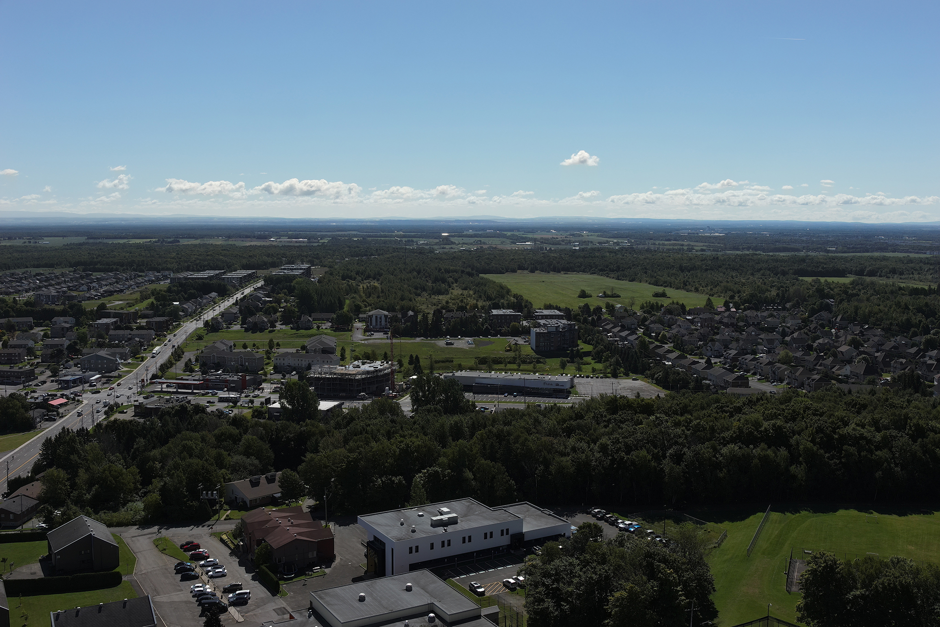
Your projects and infrastructure will be in good hands.
We have extensive experience as a partner to municipalities, public service organizations, and major contractors. With Ecce Terra, you can count on an organization with the human, material, and technological resources to carry out complex projects. You can rely on an independent ally who cares about your reputation, your deadlines, your budgets and your accountability.
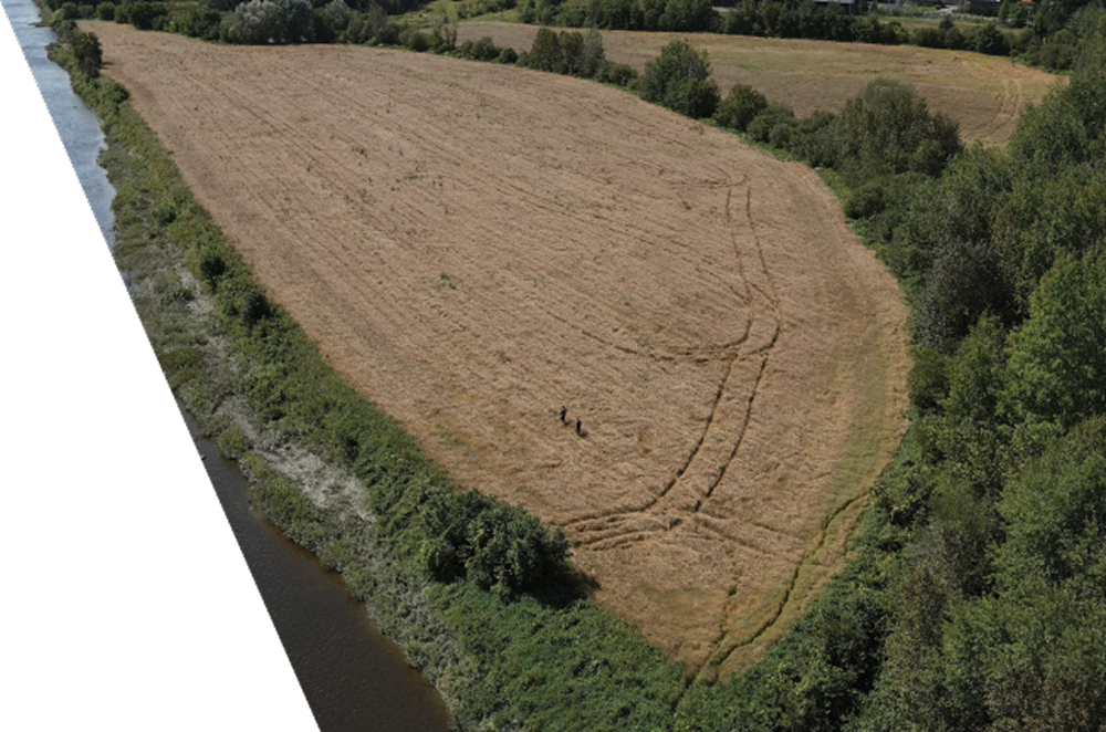
Expert support for municipal and institutional clients
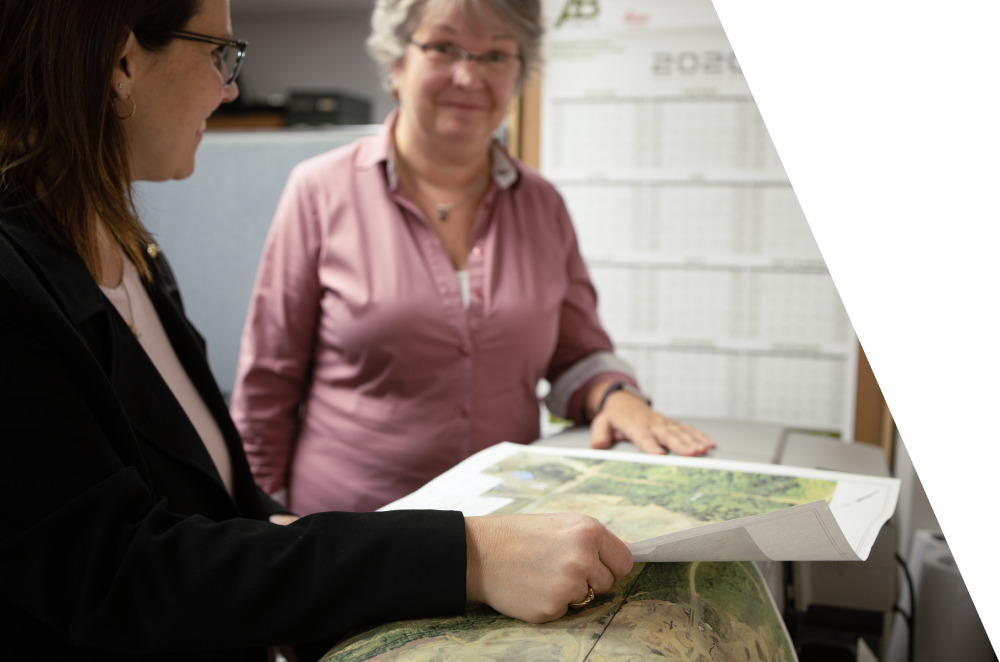
Topographic plan
A topographic plan, also known as mapping, is a complete graphic representation of the relief of a plot of land, including all the details and positions of its natural features and their elevations. Specifically, it illustrates the watercourses and bodies of water, roads, infrastructure and buildings that make up a site and its variations in elevation.
%201.png)
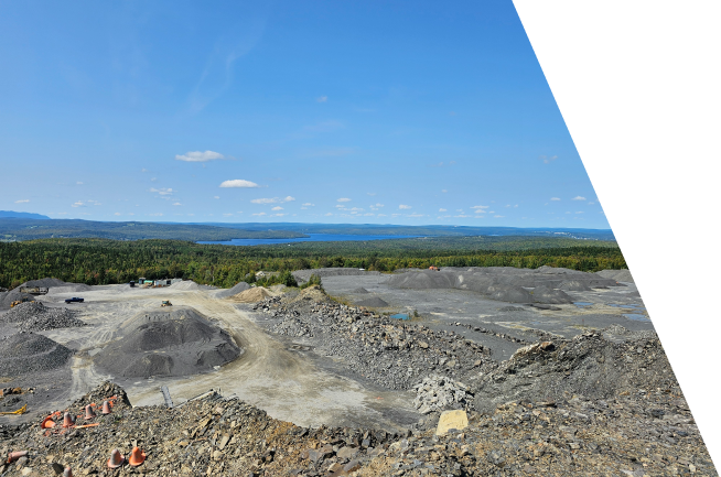
3D modeling and volumetry
From scanning a road segment to the complete modeling of a neighborhood, our experts capture your environment with millimeter precision. We deliver actionable data (point clouds, 3D models, volume calculations) to facilitate the management and development of your public projects.
Other services
Explore the other markets we serve
Have a project in mind and need professional land surveying services?
Contact us for a quote tailored to your needs.