3D modeling and volumetry
Technological precision at the service of your spatial vision
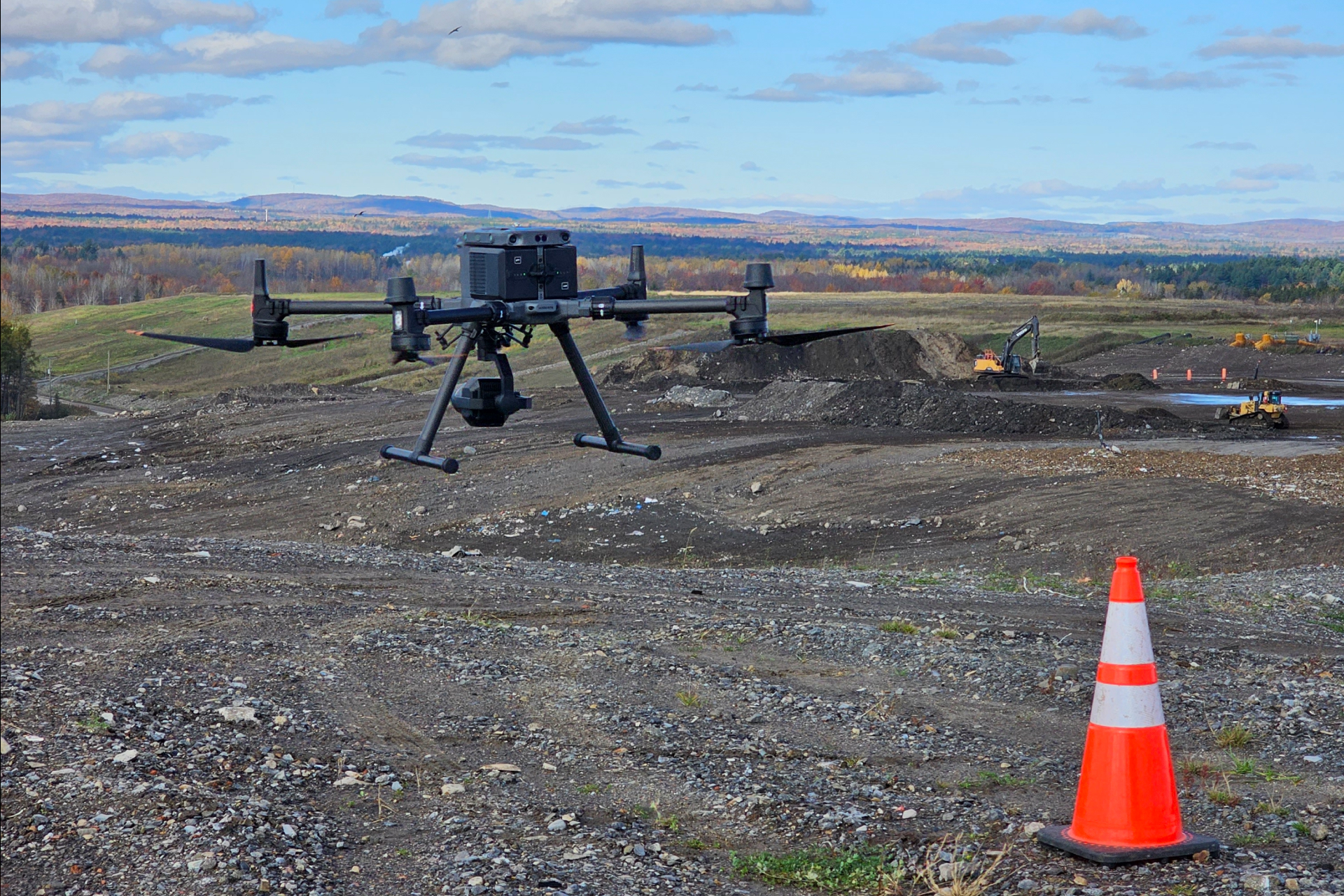
Three-dimensional modeling and volumetry transform the physical reality of your site into usable, ultra-precise spatial data. Whether you need to calculate material volumes with accuracy, generate contour lines or obtain the perfect digital replica of a space, Ecce Terra deploys its cutting-edge technologies (drone, or 3D scanner using LiDAR or NavVis VLX) to secure your investments. By mastering every angle and every dimension, we provide engineers, architects and developers with a faithful portrait of reality, essential for anticipating challenges and optimizing costs from the ideation phase of the project.
What are 3D modeling and volume calculation?
Three-dimensional modeling and volumetry encompass the advanced surveying techniques used to acquire three-dimensional data of a landform, an object or an infrastructure. Thanks to our extensive technological fleet, our team of specialists generates detailed virtual models and carries out rigorous volume calculations.
Why entrust your 3D modeling and volumetry surveys to our surveyors?
This technological firepower gives you an undeniable competitive edge in the field :
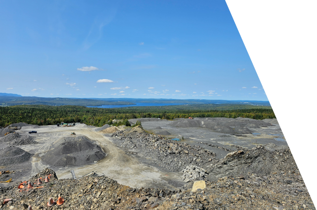
- Volume calculation (excavation, backfilling and inventory) : Obtain exact data on the quantities of materials to be extracted, moved or assessed (e.g., gravel in a quarry, wood stacks in a sawmill, calculation of municipal fees), thereby optimizing your cost management and logistics.
- Creation of digital models and contour lines : Visualize topographical constraints with clarity thanks to a faithful 3D representation (orthophotos, profile cuts) of the existing environment.
- Surveys using 3D scanner, LiDAR, NavVis VLX and drone : Benefit from rapid, exhaustive and safe data capture for all environments (urban, forest or aquatic), particularly effective for complex, rugged or hard-to-reach sites.
- Design and integration support : Provide your engineering teams with impeccable technical foundations to simulate your projects, validate the space for oversized equipment, or integrate a complex structure into a natural element (e.g., anchoring a beam to a cliff) without the slightest margin of error.
Looking for other technical surveying and specialized survey services?
From bathymetry for your aquatic projects to the topographic survey detailing every landform, rely on accurate and reliable data. Secure your investments from day one and gain a competitive edge in carrying out your projects by exploring the full scope of our services.
Need a partner who adapts to your reality?
Every market comes with its own territorial, legal, and regulatory challenges. Whether you are a visionary real estate developer, a growing municipality, an infrastructure manager, or a private property owner, the success of your project demands far more than simply taking measurements.
Anticipating space to build it better
A project's excellence rests on the reliability of its initial data. Entrust your technical surveys to Ecce Terra today and benefit from a cutting-edge team that transforms the complexity of the territory into clear opportunities.