Technical and Professional

Trusted partners, guided by precision.
Whether you are a developer, architect, engineer, lawyer, notary, or project manager, Ecce Terra supports you with precise, reliable data at every stage of your project. Thanks to our expertise and cutting-edge technologies, you can move forward with confidence, efficiency, and full regulatory compliance, from feasibility studies through to project completion.
From residential developments and construction staking to zoning and land representation, we help you secure the approvals you need and bring your projects to completion in accordance with applicable standards and regulations.
.png)
Expertise and technology for your peace of mind
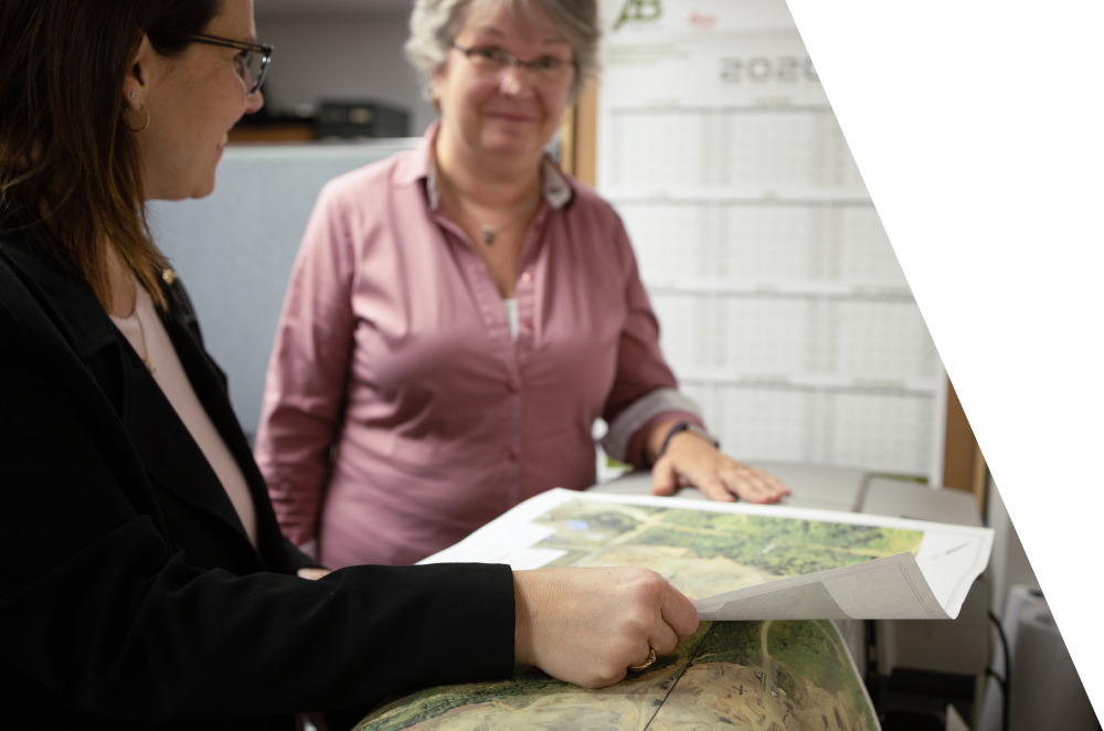
Topographic plan
A topographic plan, also known as mapping, is a complete graphic representation of the relief of a plot of land, including all the details and positions of its natural features and their elevations. Specifically, it illustrates the watercourses and bodies of water, roads, infrastructure and buildings that make up a site and its variations in elevation.
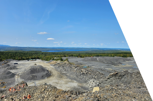
3D modeling and volumetry
From scanning a road segment to the complete modeling of a neighborhood, our experts capture your environment with millimeter precision. We deliver actionable data (point clouds, 3D models, volume calculations) to facilitate the management and development of your public projects.

Consulting services
Strategic advice to move your project forward. Drawing on their land expertise and regulatory knowledge, Ecce Terra's professionals help you assess your project's feasibility, anticipate challenges, and make informed decisions. You benefit from personalized support, sound advice, and expert guidance at every stage to bring your project to completion with confidence and efficiency.
Other services
Explore the other markets we serve
Have a project in mind and need professional land surveying services?
Contact us for a quote tailored to your needs.