Environment and Renewable Energies
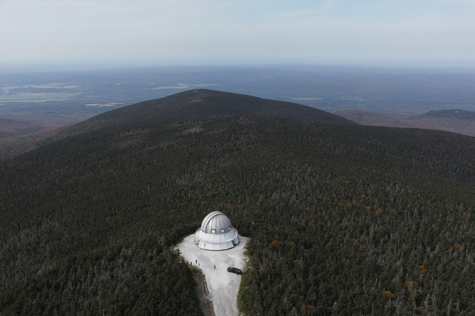
Unlimited precision and resources
Organizations operating in the environmental and renewable energy sectors, including wind, solar, and hydroelectric power, trust us for our expertise because of our skills and capabilities. We leverage our people, equipment, and advanced technologies across Quebec to quickly deliver the boundaries, georeferenced information, and spatial data you need.
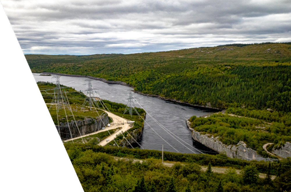
Experts in supporting project owners
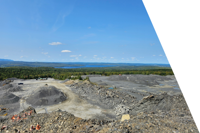
3D modeling and volumetry
From scanning a road segment to the complete modeling of a neighborhood, our experts capture your environment with millimeter precision. We deliver actionable data (point clouds, 3D models, volume calculations) to facilitate the management and development of your public projects.
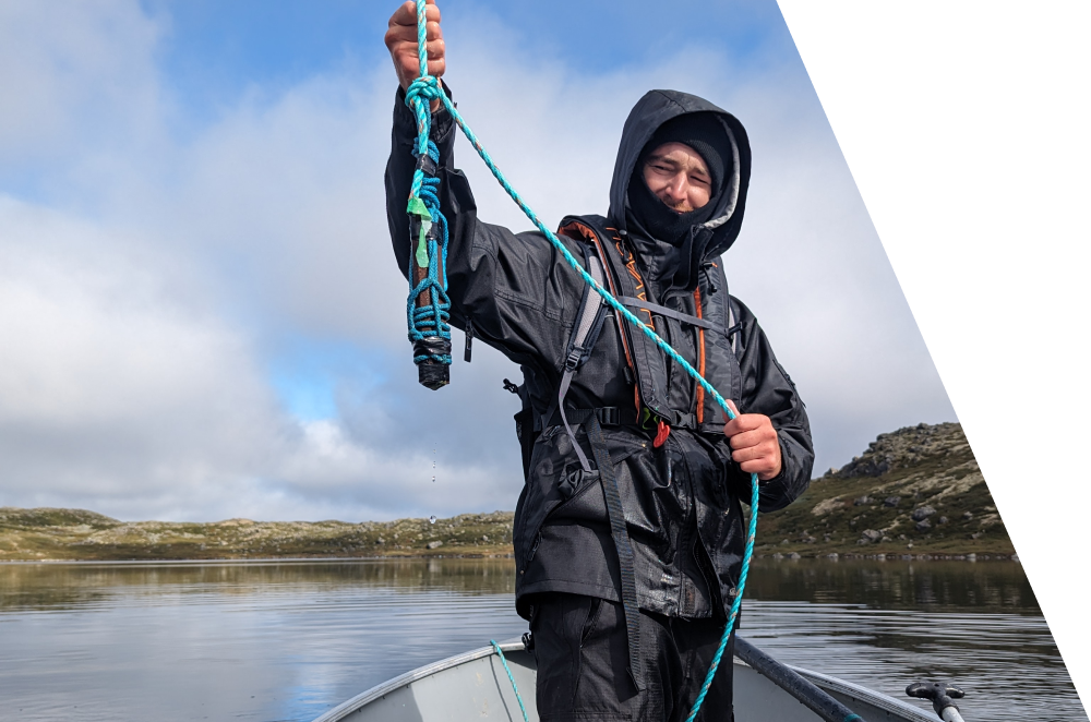
Photogrammetry
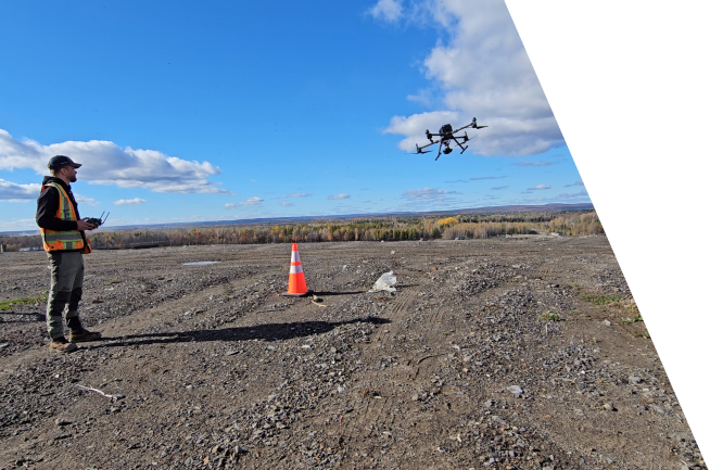
Ideal for large-scale wind or hydroelectric projects, photogrammetry converts our aerial photographs into ultra-precise three-dimensional models. This rapid data acquisition method provides the planimetric and elevation data (terrain, surface areas, volumes) needed to map the land and plan your infrastructure.
Other services
Explore the other markets we serve
Have a project in mind and need professional land surveying services?
Contact us for a quote tailored to your needs.